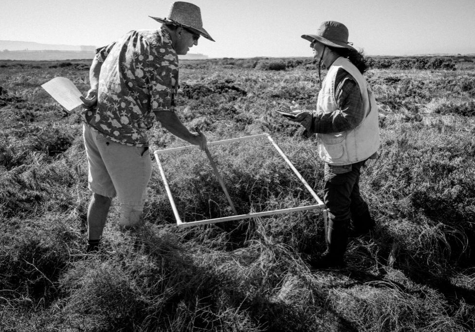
Estuary data tracking to better understand our coastal ecosystems
The Reserve’s monitoring efforts began with a foundation laid by the NOAA NERR system, the Pacific Estuarine Research Laboratory (San Diego State University), the California State Coastal Conservancy, and other partners. We have been taking the “vital signs” of local estuaries for many years in order to track changes over time, provide information for management, offer opportunities for classroom learning through exploration of local data, and deepen our understanding of coastal ecosystems by facilitating further research. Through deployment of data loggers, field sampling, and remote sensing, we monitor water quality (e.g., temperature, salinity, and dissolved oxygen), weather, and living communities of plants and animals. We also work with other programs who collect data of interest to the Reserve and region.
Archived and real-time data for TRNERR SWMP stations in the Tijuana Estuary and south San Diego Bay.
Real-time data for water quality parameters in the Tijuana Estuary, coupled with information on flow in the Tijuana River and rainfall (from the International Boundary and Water Commission).
Real-time web camera and water level data for the Tijuana Estuary, in partnership with HPWREN, San Diego State University, and the University of California San Diego.
Real-time data and web camera for Los Peñasquitos Lagoon in Torrey Pines State Natural Reserve, conducted in partnership with HoundSystems, and with support from the Los Peñasquitos Lagoon Foundation, the State Coastal Conservancy, NOAA's National Centers for Coastal Ocean Science, and the Hervey Family Fund at the San Diego Foundation.
Reference-site monitoring associated with wetlands mitigation in San Dieguito Lagoon, conducted by the University of California Santa Barbara.

