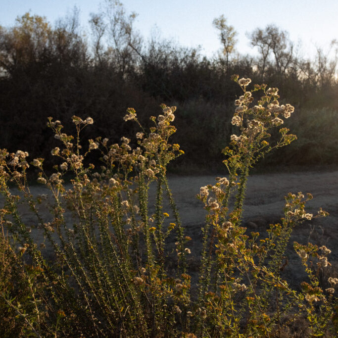
Explore the plants of the Tijuana Estuary
As much as 70% of the Tijuana River National Estuarine Research Reserve is made up of wetland area. The Reserve contains a variety of unique habitats, including dune, salt panne, salt marsh, mudflat, brackish pond, riparian, coastal sage scrub, and vernal pool. Unique characteristics distinguish one habitat from another. Changes in elevation of a few inches, the presence or absence of salt water, or soil type are variables that determine which plants or animals can live in each distinct habitat. Each habitat maintains its own world of inter-dependent life forms.
Plant types by habitat
- Salt Marsh
- Coastal Sage Scrub (upland)
- Martime Succulent Scrub
- Dunes
- Riparian

Invasive plants
In an attempt to protect native vegetation and disappearing habitat, Reserve and Refuge staff along with volunteers constantly battle non-native plants while continuing to plant native ones. These native plants provide vital habitat, nesting area and food for native animals, which is desperately needed in Southern California where over 90% of its coastal wetland habitat has been lost to development.
Learn more about non-native plants:
Endangered plants
Many people are unaware that plants can be on the endangered species list too. The Tijuana Estuary is home for one endangered plant called the Salt Marsh Bird's Beak (Cordylanthus maritimus ssp. maritimus). It is an annual that grows in the upper marsh of the Tijuana Estuary, one of only 10 locations where the Salt Marsh Bird's Beak is found. Salt Marsh Bird's Beak (below) is a hemiparasite, it uses Shoregrass (Distichlis littoralis) and Salt Grass (Distichlis spicata) as a host plant. Learn more about the Endangered Species Listing Program.
Explore the San Diego Plant Atlas
Visit the plant atlas to find every single plant that has been collected in the Tijuana Estuary.
How it works
- Once at the website go to the toolbar on top to Reference.
- On the dropdown menu click on Collected in Your Area. Google Earth will activate and take you to San Diego County with little flowers indicating each grid in the atlas.
- Click on the two most southwesterly set of flowers at the bottom left of the map. You want grid V-10 and W-10.
Voucher specimens collected are now in the museum herbarium at the San Diego Natural History Museum.
